Tuesday, 4 March 2008

Light in the Hope Valley

This Saturday was one with a difference. The difference was not because I decided not to travel - I did travel, but, for the first time, I went on a guided walk. And, this was also the first time I was in the heart of a National Park - the three earlier trips being to the fringes of different NPs. That said, I will describe the day from the beginning.

I did not have a great night, I must say. I was unable to find sleep till it was half-an-hour past midnight and I had to wake up at four thirty in order to be ready to take my train. And it turned out to be a windy night; I do not know how strong the winds were, but I know that they were strong enough and lasted long enough to slow down my North-bound trains in the morning. I could hear the wind whistling inside the permanently closed Victorian fire-place in my room. On a different day, I would have just decided to call off the trip and curl up under my warm (and sometimes hot) duvet. But not today! Fortune favours the brave, they say! I decided to be brave and went to the train station, as usual.

I was headed to Hathersage, a little village in the Hope Valley, on the railway line between Manchester and Sheffield. My first train, at 5:50 in the morning, was from Cambridge to Peterborough. From there I was to take the train to Edinburgh and get off at Doncaster, then transfer to a train to Sheffield. From Sheffield, it was 15 minutes in a local train to Hathersage. Just before my first train arrived at Hathersage, some official in the train came and told us that there were some power failures north of Peterborough and we should expect problems. Good start to the day, I thought! But the problem was not as difficult as I imagined it to be. The winds were strong and as a result, the train towards Edinburgh could not run as fast as it should and ended up reaching Doncaster about 20 minutes behind schedule, which meant that I missed the train I was supposed to take to Sheffield. But luckily, Doncaster and Sheffield are well connected to each other and there was a train just leaving in another 10 minutes or so and I took it. This train would reach Sheffield just five-six minutes, if it ran on time, before my local train into the Hope Valley was to leave. It did run on time, Congratulations! And still I had to walk as fast as I could in order to find and get to the platform from where my train would leave. And all is well that ends well. Soon I was standing on the platform at Hathersage station, waiting for 10AM to arrive so that we could get on with the walk.

At this time, things did not look rosy at all! It was gray and there was an incessant drizzle falling and being driven on to my face by the wind, which was not as wild as it was earlier in the day. It was under these circumstances that the walk leader, John Howson and the walking group organisers (TransPeak Walks, http://www.transpeakwalks.co.uk), Peter Wild and Angela Ritchie, came to pick us up, on time. John had even brought a couple of nice dogs too! One thing that I immediately noticed was that out of the 20 odd people joining the walk, no one except me seemed to be under 40 and I am under 40 by a long way (phew!). To see relatively old people going on walks along cliffs (albeit not high) on a blustery morning was amazing to me.

Our first stop was in Hathersage village, just to give people some time to visit the restrooms if required. At this time, I got talking to Peter, who kindly offered to take my tripod and attach it to a special provision in his rucksack (I have made a mental note to get a bag of that kind for my future trips). And given the time I had, during the walk, to take pictures, I never once felt the need to use the tripod on this day. And once people were ready we set up on our walk. We walked along the village streets where I got my first view of the greens before cutting on to the grassland and muddy paths.
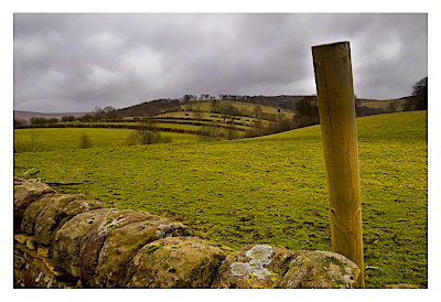


The first object of interest was what is called the Bronte Cottage, for the literary Bronte sisters (Wuthering Heights and Jane Eyre). I cannot recollect why this cottage is called so, but it was only a non-descript and run-down little structure. But close to this cottage is North Lees Hall, which is thought to be the inspiration for Thornfield Hall, which features in Jane Eyre.
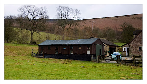

After viewing these buildings from the outside, we continued on our walk along paths on pretty woodlands and the valley towards Long Causeway, which is the ruin of an old cliff-top Roman road, and Stanage Edge, which I had read earlier affords some exceptionally beautiful views of the Hope Valley. The walk is definitely not the easiest and is not suitable for wheelchairs - there are too many stiles to cross. But, what really made my day was the fact that the grey clouds had started clearing and streaks of sunlight was lighting up the valley. And I just had to look over my shoulders to be graced by this view.
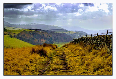

Soon, we were on the path with a gentle incline and on to Stanage Edge. Stanage Edge is a 3.5 mile long gritstone escarpment that overlooks the Hope Valley. The Long Causeway Roman road is just somewhere near the mid-point of the edge. It is not very high - at only about 30 meters - but attracts a number of rock climbers. (I was told that some students in Sheffield University learn rock climbing just because they are not too far off from Stanage). And we did see many of them, some of them even taking shelter from strong winds in little caves on the rock face.

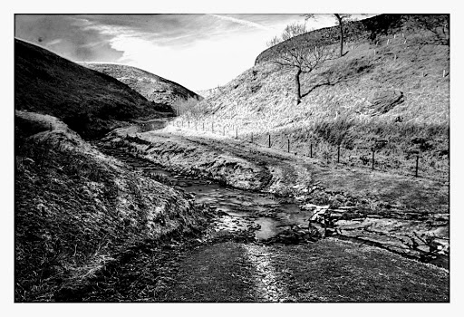
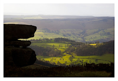
While walking along the cliff, I was able to take some telephoto shots of the valley floor, with the combination of the clouds and the sun orchestrating a special performance of lighting up patches of the valley, while leaving other areas in shadow. This is what I would call picturesque and amenable to some creative Black and White conversions as well. What one gets to see is the gritstone rock outcrops of the Stanage Edge forming strange and sometimes funny shapes in the foreground and beyond is all the magic of the beautifully lighted and green valley floor. It not being a very clear day, the distant valleys appear to be mired in mist, offering only low contrast views through the curtain of sun light formed where there is a break in the clouds. Of interest is what I learnt - that the landscape that had unfolded in front of my eyes was not all natural, but was a product of a thousand years of human activity, sheep farming in particular.

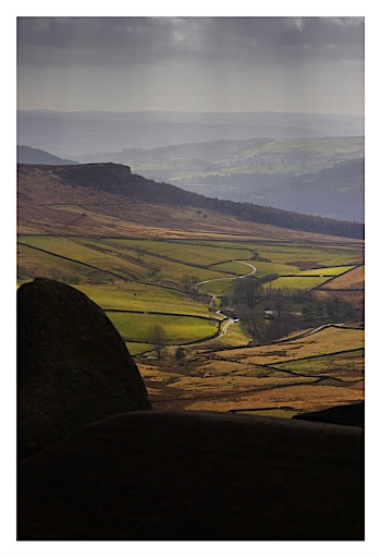
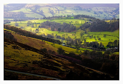
Soon it was time for lunch. I was not going to spend my time eating food while there was some good light, strong foreground, middle-ground and background to be photographed. And, having shifted to my wide-angle lens, I set about taking a number of pictures, some of which were to my satisfaction. It is also worth mentioning that though it was dry by now, it had rained earlier and so the grass had retained water and this water was being sprayed around by the wind to such heights and with such a force I had not imagined anything less than a cyclone to possess.
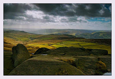
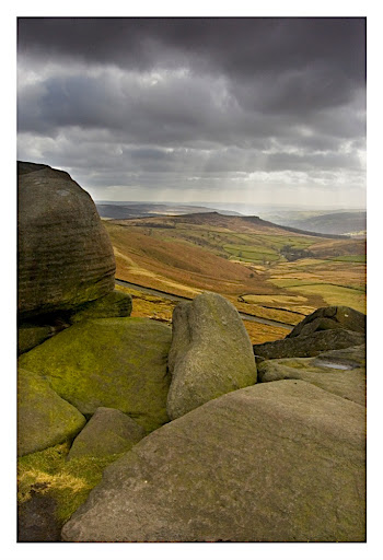
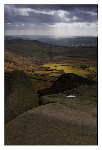
Post lunch, we started on our walk downhill and back towards Hathersage village. While walking along the plains, one again had to just turn back to catch lovely views of a pair of peaks rising above the ground, one seemingly covered in green and the other in drier brown! And that too with the storm clouds having largely withdrawn and with some fluffy white clouds floating around under an otherwise blue sky. A sight to behold!
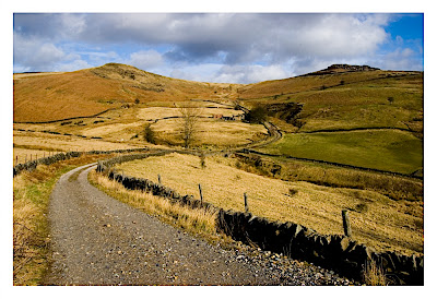
Finally, on the walk back we also went to a small church which is where Little John of Robin Hood and Co. is supposed to be buried.

I must say that during this walk, I got chatting to Peter and Angela, the organisers of this walking group. And following the walk, we went for a coffee together and then they took me on a car ride through other towns of the valley, Hope and Castleton, before dropping me off at the Edale train station from where I took the train back to Sheffield. During this car ride I did get a brief overview of various aspects of the Peak District and its attractions. And I would definitely visit the Peaks again, on a more-than-a-day trip, possibly in the third week of April, when there will be a Peak Distrct Walking Festival going on there! And I could join in on another of TransPeak Walks guided trek.

For more pictures, see http://picasaweb.google.com/aswinsainarain/PeaksHope_valleyStanage_edge and http://www.flickr.com/photos/achoos/sets/72157604048026345/. The latter has only a selection of my personal favourites. Write to me if you like any of the original hires images, which have had some more attention from me since they were uploaded to the above album.

Monday, 25 February 2008

To the Yorkshire Dales

Three in Three!! Three day trips on three consecutive Saturdays! A personal record at least, if not more. Last week, it was time to go North again, this time to Richmond near the Yorkshire Dales National Park. This is a Georgian town that is easily accessible by a combination of bus and train. All that you do is go to the Cambridge train station, buy your ticket to Darlington. Then take the train to Peterborough, direct or via Ely, and then jump on the National Express East Coast train (formerly GNER) towards Edinburgh / Glasgow / New Castle and jump off it in Darlington station. Then you take a shady-looking staircase and get to a street where you can catch the X27, a fast bus service to Richmond. In total it takes less than four hours! Perfect! And that is what I did. My first train (to Ely) was at 06:32 in the morning and I was in Richmond at about 10:20.

The first thing that struck me about Richmond was that it was clearly a market town. It does not require something of the scale of an expedition to the North Pole to find that out. The X27 coach stop is right in the market square. The town was, in a way, unsettling. Here was a Georgian market town with some really venerable looking, but not pretty, buildings and at the same time you could see a whole lot of modern shops, all in one go. Why should that make it any different from Cambridge? Cambridge is as much a hotch-potch of history and the modern! Very simple. As I stood in the market square, right after getting off the bus, I was in what was a very open space and the contrast was just a bit too obvious to the eye. Very well, I would rather not get into trouble waffling about these thoughts, but rather get back to business.

Business! Whenever I travel, I start my business at the nearest Tourist Information Centre. One generally finds old lady volunteers there who are particularly efficient in pointing to the right guide leaflets and suggesting places to visit, given the time available to you. And it was no different here. The only difference was that the weather was crappy. I generally travel in fine weather, with nice blue skies and warm temperatures. It was not cold here, by any standard except the tropical one, but the sky was a dull grey and it was windy. And the wind brought with it droplets of water that struck my face pretty much continuously. These are minor things anyway and would hardly deter me from walking around the countryside with my cameras and kit. I came out of the centre armed with a minimal map of Richmond marked with public footpaths. In my mind were those walks that the volunteer had pointed out as particularly worth taking.

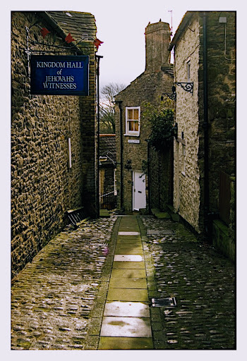
Even as I am writing this, I am taking a look at the crumpled piece of paper containing the map that was given to me by the lady at the Tourist Information Centre. I will definitely not win an award for map reading - I might, for completely misreading maps. This was made very clear as I kept studying the map and walked in a direction that was completely opposite to that I was supposed to take. But at least, not being a complete dumbo, I was able to realize my mistake and get back on track. And once I realised I was walking in the opposite direction, it was rather easy to retrace my steps and go in the other direction without the help of the map at all. Cool! Though I must say that some of the streets that I came across on this walk looked completely adverse to anybody's well being, like the one pictured below!


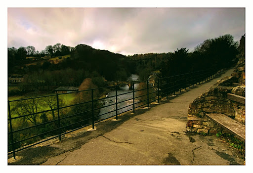
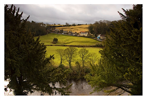
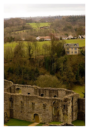
Then I was headed towards the Castle Walk. Richmond has a castle, believed to have been constructed soon after the 1066 Norman invasion of England, in ruins. And this walk, which includes an ascent of some dimensions that did leave poor me somewhat breathless, goes around the castle ramparts affording views of the castle as well as the river Swale several tens of meters below. Just a few words about this river Swale. This is the fastest flowing river in England and this part of the Yorkshire dales lies to the North and is called Swaledale, after the river. So, back to the walk. I must once again emphasize that it was really windy and on several occasions I was resigned to sit on the benches provided along the walk rather than try walking against the wind. And just whenever there was some sort of a let up in the wind force, I managed to set up my tripod and get a few shots of the river and the slopes on the other side of the river.


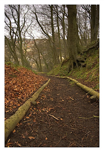
Having completed the castle walk, following a descent on to the Riverside road, I crossed over a bridge and got to the other side of the river, where there were a number of woodland conservation walks. One of the walks I took here, once again involved a tiring ascent, and unfortunately did not afford great distant views. But it was still a lovely experience as it was different being lined by trees yet to get over the autumnal shedding of leaves.


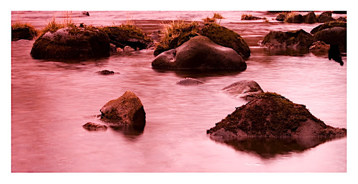
The next walk was easier, involving a stroll by the riverside and definitely offering chances for creative photography which, unfortunately, I was not in the mental shape to take advantage of. It was one of those days, when you can have even your best cricket batsman scratching around for ages and scoring nothing. And I, being terribly humble, am hardly the greatest cricket batsman (read photographer!). And yet I did get a few decent shots I am somewhat happy with.


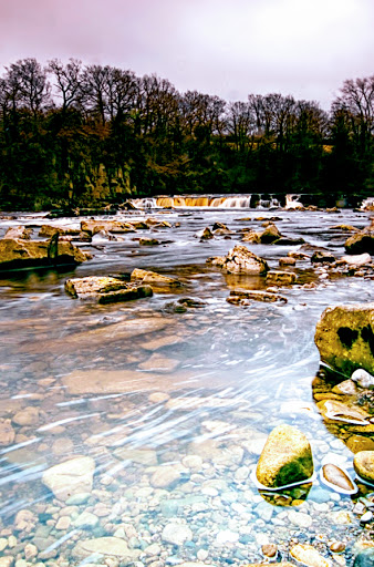
This walk was then followed by a stroll on the Riverside road, towards the Swale falls, a rather small waterfall. Once again, as a consequence of my poor photographic form I was unable to make good use of opportunities available. My best shot of the falls is below. It was near here I chatted with an old couple who were tourists as well, and who, to my great surprise, were not aware of the name of the river and it was left to me to enlighten them.


Post water-fall was lunch time and I ate at this restaurant called Seasons which is located in the old station building, which I believe, is no longer in use as a railway station.

Thus rejuvenated, I started walking back towards the castle. This time I wanted to get into the castle rather than walk around it. After all, if it were a castle then it should provide a vantage point to view the beautiful dales that make up its estate. These were sights I had hardly got till now, with woodlands blocking the view. Further, giving some food to the brain helps as I soon realised that the best way to capture these landscapes was to remove the wide-angle lens and put on the telephoto one. And is what I did. And may be, in all the wind, that was where my sensor caught that large piece of dirt! That did not matter much to my photographic ambitions - I could clone out the stuff in Photoshop. It is a totally different matter altogether that it has prompted me to finally send off the camera to the repairer for a sensor cleaning exercise, all paid for by my nice camera insurance company.

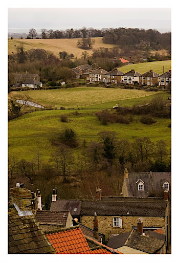
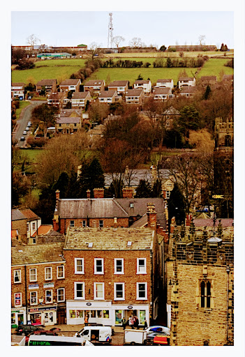
I shall go on record here saying that the wind had become totally incorrigible. While I was shooting from the castle ruins, my tripod was being rendered almost useless by the force of the wind and I am still unable to comprehend how it managed to give me a substantial number of pictures without noticeable shake. The wind was so strong that when I was talking to mum over the mobile phone form the castle, she was able to hear the howling gusts. Well, getting back to the sights, there were two broad classes - one, views from the open terrace and two, views through little, shapely gaps (the castle builder, God bless his soul, would want to call them windows). Irrespective of whether the views were from the open or through these gaps, they were gorgeous. From one side, you would get to see almost entirely open valleys with woodlands, the nature being disrupted at the most, by a single road that was definitely not busy with traffic. On the other side, was a view with a greater diversity of subjects: from the buildings of Richmond in the foreground to the valleys in the background. In short, this is a place I would recommend anyone to pay a visit, for both an experience of a historic market town as well as views of the dales.


Then it was time to get back to the Richmond market square to take the bus back to Darlington, something I did without putting a foot wrong and then to take the train from Darlington to Peterborough and on to Cambridge! The end of a day that gave me great pleasure and a lot of pain to the back and to my legs!!

Fore more images, please see http://picasaweb.google.com/aswinsainarain/RichmondYorkshire_dales (though, personally, most of these pictures will hardly be on my personal fav list).

Tuesday, 19 February 2008

Down to The South

Last Saturday, I went out, once again, on a day trip. This time, I went southwards, to the South Downs National Park. The South Downs is one of Britain's 'breathing spaces' that extends from Winchester in the West to Brighton and Eastbourne in the East. Near Eastbourne, the South Downs meet the English Channel at the Seven Sisters National Park, the Seven Sisters being a series of milky white chalk hills that overlooking the channel. 'Overlooking the channel' is an understatement and belies the drama associated with it. May be the best way to look at it would be to see it from the point of view of a little wave that runs in from somewhere in the sea towards the land, looking to wash the sands and crash on the little pebbles and rocks and instead comes face to face with a massive structure, a couple of hundred feet high; a massive structure you would not want to strike hard; as it is a structure that is menacing in its scale and yet has peace written all over it, being so white, milky white! And yet, I read that this structure recedes into the land by a bit over a feet every year, thanks to the action of our little wave!

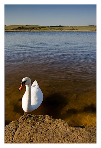
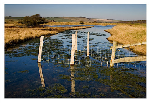
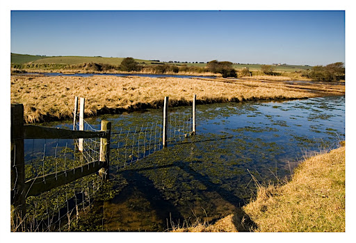
So, to the practicalities. The Seven Sisters country park, as this site on the South Downs is called, is easily accessible by public transport. All that you have to do is take the train from London Victoria to Eastbourne. And take the bus to Brighton from right outside the Eastbourne station and get off the bus, 15-20 minutes into the journey and you are there at the park's visitor centre. And then you start walking along an easy access path that is dotted by sheep poo (the park being a working sheep farm), but allows you pretty views of the downs with a little pond in the foreground. And the bonus is the pair of white mute swans that one can see swimming on the pond - at least I was fortunate enough to see them there.


Further down the walk, you will join the South Downs Way, a long distance National Trail that runs from one end of the South Downs to the other, a distance of about 100 miles. You dont have to walk the 100 miles, since a walk of about 500 meters affording views of combinations of green, yellow and brown of the Downs brings you to the coast and to exhilarating views of the Seven Sisters.


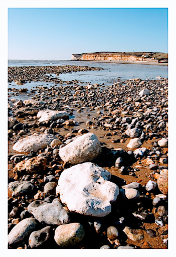
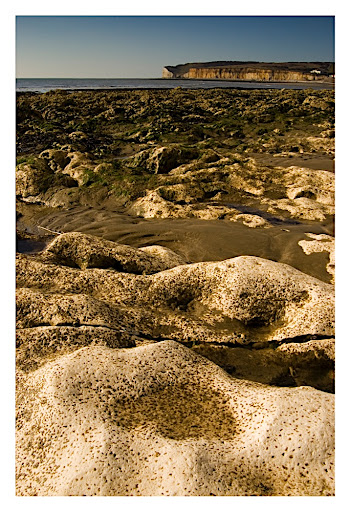
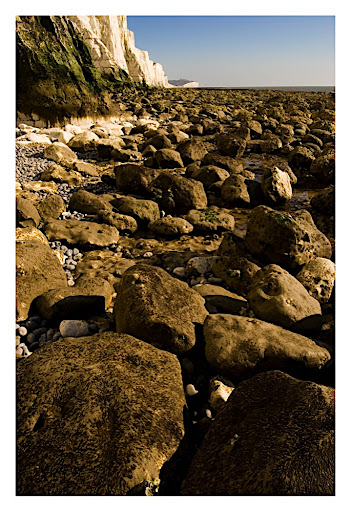
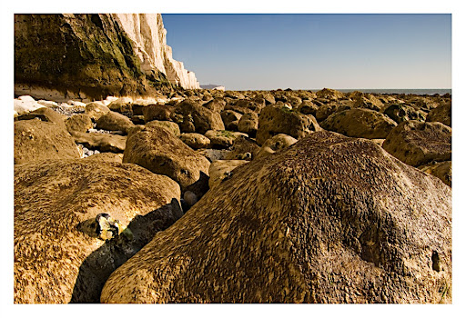
Forget the seven sisters, you also have a relatively dirty looking hill on the other side, and this, along with the pebbles, chalk rocks and the terrain, makes for a lovely landscape photo subject, provided the light is right!


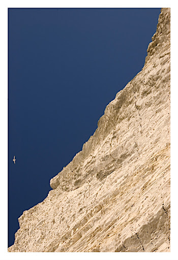
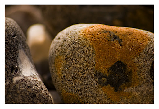
And you look the other way to the Seven Sisters and you just stand and admire the work of nature in deriving such geological formations. And from an artistic point of view, you look for photographic opportunities. By the time I had taken pictures of the dirty cousin of the Seven Sisters (sounds somewhat like the five aunts Bertram Wooster dreads!), I was dead tired and I took a little break sitting in the shadow under one of the Seven Sisters. And while here, I took some lazy snaps of the pebbles and the colour of the sister giving me shade.


And very soon, I was back and, this time, took the photo ops presented by the sisters themselves in collaboration with the matching or contrasting colours of the rocks lying on the beach and went snapping. And yes, there were occasions when it was tempting to reach places on the beach, which my attitude and physical consitution would not allow, in order to grab interesting snaps. But better sense prevailed!


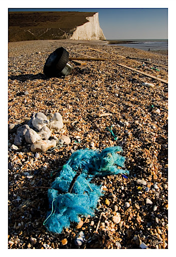
And soon I was on my way back, taking a quick picture of the hand of man on the coast - a cranky looking tyre and a colourful piece of furry cloth left on the floor.


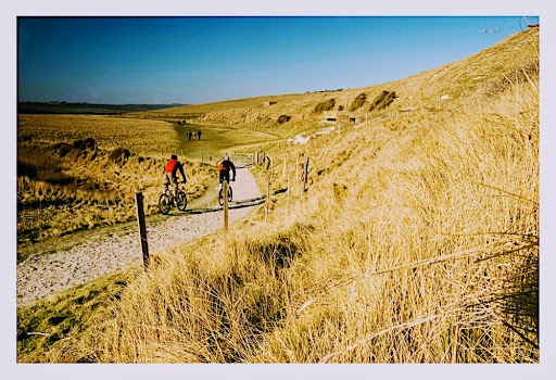
I finished with snaps of excited bikers and walkers in the landscape.


Finally, I ate at the farmhouse restaurant, which is next to the visitor centre by the bus station - note that I could not find any place to have a snack or anything closer to the beach - and offers a rich cream tea meal comprising two large scones, clotted cream, butter, jam and tea. And then it was time to take the bus back to Eastbourne and the train to London.

A thought, in case the authorities read this. I was surprised to find that I could get absolutely no signal on my mobile phone near the beach. And this being a tourist location, a coast, but importantly, remote, I wonder what one would do if there is a necessity (however improbable that may be) to quickly call 999, the emergency number!!!

(For more pictures, please see http://picasaweb.google.com/aswinsainarain/SouthDownsSevenSisters)

Wednesday, 13 February 2008

Moors and Fog

Well, it has been quite a while since I made an entry in this blog, but here I am once again, in Happy 2008!

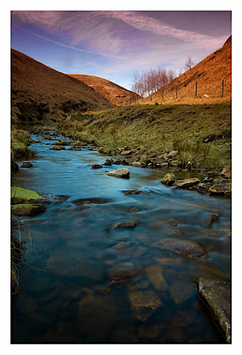
I returned to Cambridge after a holiday in good old Chennai on the 21st of January and it was getting warm in England, at least in Cambs. It was over 10 degrees anyway and so, let us say, relatively warm. And with the passage of the next few days and a couple of weeks, it did look as if Spring was coming. And if daffodils are anything to go by, spring was upon us - daffodils were blooming, in the village of Sawston, in the University's Botanical Gardens and on the Genome Campus. And what lovely weather we had last Saturday, clear blue skies, the perfect temperature - neither too warm nor too cold, though one had to wear a layer of woolen. And I did take advantage of this excellent weather to take my first trip to the North of England in nearly two years. I went to Marsden Moors, a National Trust estate in Yorkshire, just north of the Peak District National Park. It was not trivial getting there, having to change trains thrice. I spent more time on the train and in train stations than on the moors. The consolation is that this estate lies just adjacent to the Marsden train station. Forget the following: (i) I lost both my graduated ND filters and the filter holder (ii) I almost got lost on the walk from the moors to the Marsden train station - well I did get lost, but had the presence of mind to retrace my steps and get back to a point from which I could reassess my situation and take appropriate corrective action (iii) on the return journey, one of the trains was late by a few minutes leading to my missing my connection and having to wait another hour and a quarter for the next train. Forget these, and the trip was a real pleasure. Beautiful hills running alongside little streams flowing on rocky surfaces; the brilliant sunlight creating alternating patches of shadows and highlights; and mountain goats or sheep grazing on the hills and possibly looking for opportunities to knock me down from the back, but I would never give them that chance - I would run away from them before they could run at (or more often run away from) me. Well, I cannot describe this location in words as Hardy describes Wessex, but I hope the sample photos below would tell you more than what my words can.


Please see http://picasaweb.google.com/aswinsainarain/MarsdenMoorsYorks for all pictures taken on Saturday, 9 Feb 2008 at Marsden Moors, Yorkshire.

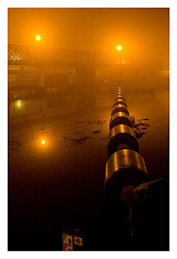
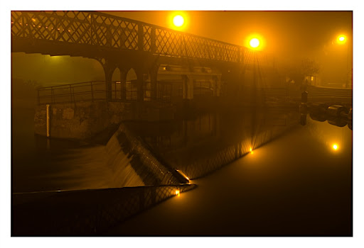
How fickle is the weather here? Just three days after the glorious day described above, we had today, a crazy and cold day, which was foggy with visibility down to a few metres for most of the day - the fog just refused to lift until, God knows when!! It was foggy at 8AM, foggy at 12 noon, foggy at 7 PM (when the pictures below were taken) and NOT foggy at 11 PM. So, fog for at least 11-12 hours of a day that was just three days behind the glorious weekend! Bah!


Please see http://picasaweb.google.com/aswinsainarain/FoggyNight for all pictures I took on the foggy evening of 13th Feb 2008.

Monday, 1 October 2007

When Vishy Anand won a World Championship..

..I had no idea there was a Chess World Championship going on.. BBC Sport does not seem to have any section dedicated to the coverage of chess, at least no section that is easily detectable on its pages, despite the fact than an Englishman, Nigel Short, was a leading player of the game not too long ago.. An Indian has won a 'World Championship', an individual to whom such success is not a flash in the pan - he has been a world-leader in this game for many years now and has won several Chess 'oscars' and has been- and is the World Number 1.. he had been unbeaten throughout this championship and that too in a tough field.. And I had no clue all this had happened!!

Is it because the World Championship in Chess has always remained a subject of ridicule, with all and sundry organising a 'World Championship' and calling someone the World Champion? Maybe, or rather must be, for I cannot think of any reason other than that for the World Champinship of this lovely game to have received such a lukewarm reception. But at least, as far as I have read, there seems to an air of the genuine about this championship with most top players including Kramnik and Leko participating. And that is something!

Will FIDE ensure that there is order in the organisation of the game and its World Championships and also ensure that these tournaments get more publicity than they do, in the interest of people like me who follow the game casually, but with a lot of interest!

And congratulations, Vishy Anand!

Sunday, 23 September 2007

The Norfolk Broads

So, I took a completely disorganised trip eastward, to the Norfolk Broads, yesterday, again a Saturday. Generally I take great pleasure in planning trips out of Cambridge carefully and well in advance, irrespective of how well the plans work out! But the trip described last, to Bury St Edmunds and the one described here, to the Norfolk Broads were totally arbitrary. The present one the most random trip I have taken since I practically had no idea where I was to go!

So, what are the Norfolk Broads? I would rather not explain in detail but point you to the appropritate Wikipedia entry: http://en.wikipedia.org/wiki/The_Broads.

It would resemble in many ways the scenes that you would get to see on the boat rides back home in South of India, but here, there is one difference: while the rivers, obviously, were formed by natural forces, the depressions that are now the lakes were dug out by hand in medieval times!!!

My first port of call was this place called Hoveton and Wroxham. It was a 15 minute train ride from Norwich. But thanks to some engineering works on the rails between Ely and Brandon, the trip involved several changes involving buses and trains. But somehow, I did get to Hoveton and Wroxham. This place is called the capital of the Broads because it is supposed to be pretty much the gateway to the Broads. Well, true, but only if you had a car to drive around or had the time to rent a boat all for yourself and take it around. Public transport was pretty much non-existent and even the brochure supplied by the Broads authority had no practically useful information on getting around by public transport. And given all these limitations, I did take a guided river tour on the river Bure lasting an hour and a half covering the Wroxham and Salhouse Broads. The commentary during the tour was very very good and mentioned how the waters here were pretty much polluted in the 70s and it required a concerted effort in the form of legislation and implementation to clean it all up. During this tour, one gets an opportunity to see a variety of water birds! And one can also easily observe the presence of quite a few thatched houses!

Following this tour, I walked around this little reserve park in Hoveton, where one might get to see birds amidst the reeds, but I did not see any. In all probability, the large dogs that were being walked by quite a few of the toursists (or locals) might have scared the birds away!

And then I took the train back to Norwich and realised it was still too early. Then I decided to go to the Broads in Suffolk and decided to choose between the train that went to the east-most coast of England - Lowestoft and that which went to Great Yarmouth. I plumped for the former and went on the train and only to get down at one random station called Oulton Broads North, a short while from Lowestoft. I walked around this Oulton, which was totally deficient in any kind of sign-posts, but somehow reached the banks of river Waveney. I decided I did not have the time to take another guided river tour, but walked for a while along the banks, seeing several swans and boats and dogs. And then it was time to take the train back to Norwich and then to Cambridge. This particular train route between Lowestoft and Norwich is quite pretty and one does get to see several marshes.

So that is about it for today.

Saturday, 8 September 2007

The Saturday

Today was a Saturday with a difference. Because the internet connection at home was not functioning, there was little I could do at home. I decided to roam around Cambridge. Cambridge was not without incident - I saw this fellow, dressed in black standing on a chair with a display board next to him, berating scientists and evolution and arguing that everything was designed intelligently by God. He even had a reason - Boeing 747 and 777 are similar, but they were both independently designed by a man; therefore just because scientists observe similarity between species at the molecular level it should not be taken as proof for evolution; in fact, as the Boeing example illustrates, every form of life is an independent creation! There was some crowd around him, and to them, this was good entertainment. There was laughter - they were laughing on Mr. Black's face! But Mr. Black was determined to put his point across. There was an elegant looking Englishman who walked up to him, tap-tapping his cane on the pavement and asked him, "are you being serious?", and walked away, with a mischievous smile on his face. There was this totally shaggy fellow, with a beard that resembled the hair of an electrocuted cartoon character, who chose to argue openly with Mr. Black. Mr. Black was showing a 3D drawing of a eukaryotic cell and saying, "scientists describe that this is how a cell looks like", offending me, a bacteria man, and continued, "but they dont know how it came about because it was put there by God!". Our Mr. Shaggy was not to be deterreed - he said, "this evolved from cellular forms that were much simpler". Mr. Black asked, "how do you know that?". I was tempted to retort, but the man standing next to me said, "common sense mate" and walked away and I followed his example, moving on!

And then, once again, I had to decide what I wanted to do. I had a brain wave. I walked along to the railway station, looked at the time table and decided to go down to Bury St. Edmunds or St. Edmundsbury in Suffolk, a forty minute train ride away. This place is known as 'Shrine of a King, Cradle of the law'. Shrine of a King because this was where King Edmund, the last king of East Anglia was buried; Cradle of the law because this was where, in early 13th century, a resolution was taken to get ratified the Magna Charta, the fore-bearer of today's English legal and democratic systems. This little town has a ruined Abbey, where the above event took place, located in a supposedly beautiful garden and I decided to see this place for myself. And that is what I did. I must confess that this town is very pleasant. The market is exceptional; for the first time in England, I saw shopkeepers shouting their voices hoarse to advertise their wares, akin to our Indian markets. And I even managed to buy a massive bowl full of green, seedless grapes - should have been around a kilo - for a pound! Cannot imagine getting such value in the Cambridge market! The abbey itself, as said earlier, is in ruins. All that remains is a series of bits of stone walls sticking out of the ground; and in some instances, these bits were large enough to form recognisable shapes. There is a little wall on which was posted a board saying, "Lecture room". I wonder!!! The garden in which this abbey is located is beautiful and is a colour riot, with a large variety of flowering plants aesthetically arranged. This meant that I had a good time with the camera before returning home to find that the internet had started working - a pleasant surprise!


The Abbey ruins (1)


The Abbey ruins (2)


A board describing the historic event


Just a pic I liked


The Abbey garden (1)


The Abbey garden (2)


The Abbey garden (3)